About
Learn more about me

Postdoctoral Fellow
- Affiliation: Meteo-France
- Degree: PhD in Remote Sensing
- Email: er.kaushlendrav@gmail.com
Kaushlendra Verma is pursuing a post-doctorate position at Meteo-France and was honored with the esteemed CNES Post-Doctoral Fellowship for 2022. His research focuses on the practical applications of the SWOT satellite-altimetry mission to enhance our understanding of global hydrology. Specifically, he is working on improving global hydrological simulations by utilizing the ISBA-CTRIP land atmospheric model and incorporating altimetry data assimilation. Prior to current position, he has successfully completed his Ph.D. in Remote Sensing within the Civil Engineering department at the Indian Institute of Technology in Bombay, India. his doctoral research revolved around evaluating the effectiveness of Satellite Radar Altimetry in studying inland freshwater bodies. Additionally, he investigated the Error Budget and uncertainties associated with hydrological variables derived from satellites, aiming to enhance our knowledge of regional hydrology in Indian River Basins.
Fellowships, Grants & Awards
| Name of award | Description | Year |
|---|---|---|
| Post Doctorate | This opportunity is provided by the Centre National d'Etudes Spatiales through CNES-Post Doctoral Fellowship 2022. | Mar, 2023 - Feb, 2025 |
| Research Internship | This opportunity is provided by the Department of Science and Technology India through DST-CNRS project. | Nov, 2021 - Jan, 2022 |
| AGU Fall Meeting 2021 | This competitive fellowship award is provided by the Americal Geophysical Union USA. | 2021 |
| Ph.D. Assistantship | This competitive fellowship award is provided by the Ministry of Human Resource Development, Government of India. | 2019 |
| M.Tech Assistantship | TThis competitive fellowship award is provided by the Ministry of Human Resource Development, Government of India. | 2016 - 2018 |
courses/CERTIFICATIONS
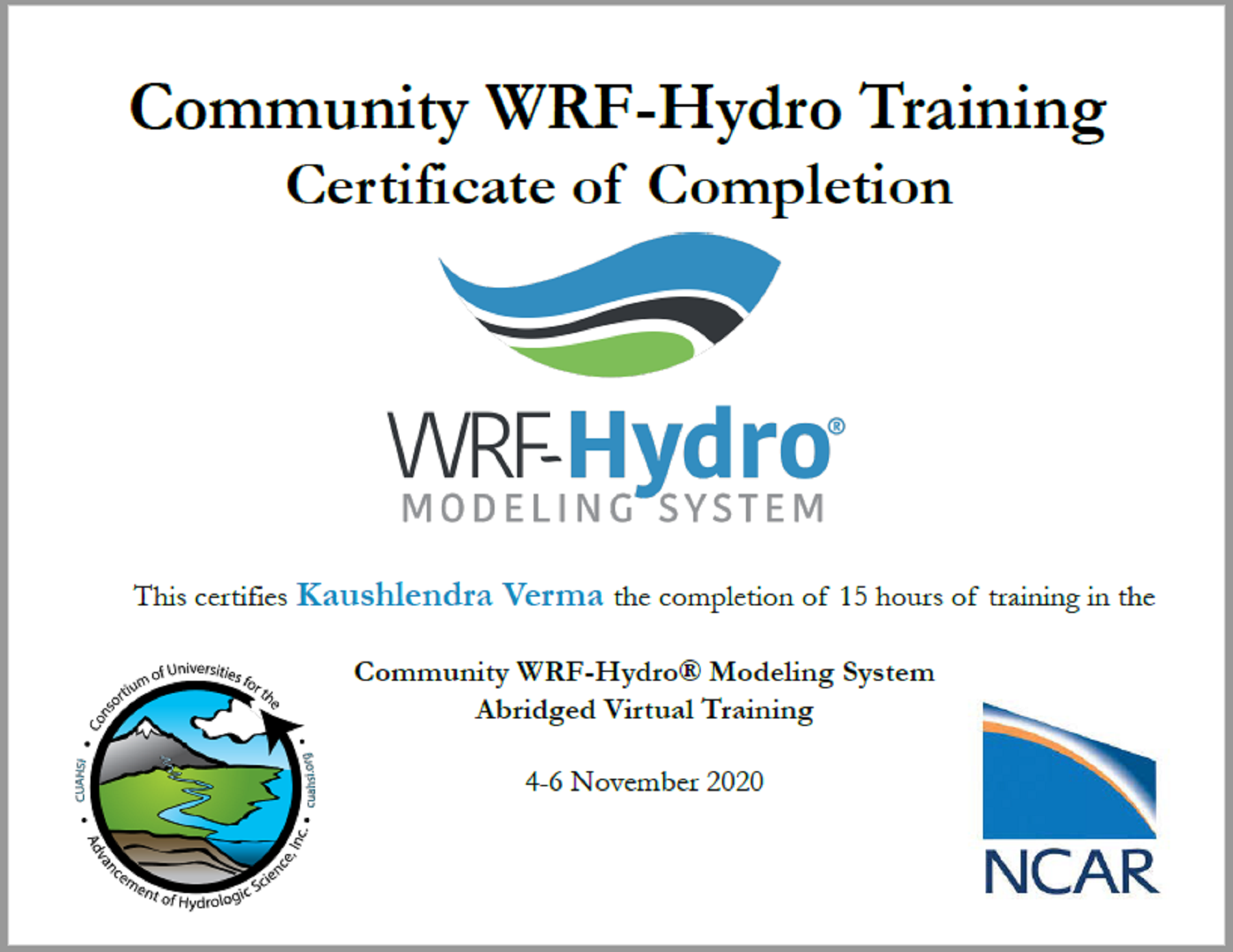 WRF-Hydro Virtual Training-2020
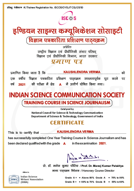 Training on Science Journalism
SKILLS
Programming
Python
Software and Tools
QGIS
ArcMap
ERDAS IMAGINE
git
Cloud based platforms
Google Earth Engine
Amazon Web Services
Google Cloud
Summary
Kaushlendra V. (CNES Postdoctoral Fellow)
2023 - present
Research interests: Space Hydrology | Satellite Altimetry | Data Assimilation
Institute: Meteo-France, Toulouse, France
Title: Towards a Global Scale SWOT-CTRIP Hydrological Data Assimilation System
Advisors: Dr. Simon Munier & Dr. Aaron Boone
Education
PhD (Remote Sensing)
2018 - 2022
Institute: Indian Institute of Technology Bombay, India
Thesis title: Potential of Surface Water and Ocean Topography (SWOT) Mission for Inland Hydrology
Advisors: Prof. J. Indu
CPI: 7.64/10.0
Master of Technology (Water Resource Engineering)
2016 - 2018
Institute: Visvesvaraya National Institute of Technology Nagpur, India
Thesis title: Validation of Sensitivity of GRACE and GLDAS data to Groundwater variation within basaltic aquifer system using spatial analysis and ANN
Advisors: Prof. Y. B. Katpatal
CPI: 9.26/10.0
Bachelor of Technology (Civil Engineering)
2010 - 2014
Institute: Uttar Pradesh Technical University, India
Thesis title: Analysis and design of multi-storied building (manual design)
Advisor: Prof. Shailendra Kumar Prajapati
CPI: 75.88/100%
Professional Experience
Teaching assistant
2019 - 2022
Remote Sensing, Indian Institute of Technology Bombay, India
Level: Post graduate
- CE712: Digital Image Processing
- CE716: Data Processing in Remote Sensing using Python and SNAP
Publications
- All
- Journals
- Conferences
- Book Chapter
Verma K. and Indu J. (2023) "Applicability of SWOT data in calibrating WRF-Hydro hydrological model over the Tawa River basin". Geocarto International, 38(1). doi: 10.1080/10106049.2023.2185292
Verma K., Nair A., Indu J., Karmakar S. and Calmant S. (2021) "Satellite Altimetry for Indian Reservoirs". Water Science and Engineering, 14(4),277-285. doi: 10.1016/j.wse.2021.09.001
Verma K. and Indu J. (2021) "Effect of satellite altimetry sampling error in estimating reservoir storage and outflow". Geocarto International, 37(25),7580-7590. doi: 10.1080/10106049.2021.1980615
Nair A., Verma K., Ghosh S., Karmakar S. and Indu J. (2021) "Exploring the potential of SWOT mission for reservoir monitoring in Mahanadi basin". Advances in Space Research, 69(3),1481-1493. doi: 10.1016/j.asr.2021.11.019
Verma K. and Katpatal, Y. B. (2019) "Groundwater Monitoring Using GRACE and GLDAS Data after Downscaling Within Basaltic Aquifer System". Groundwater, 58(1),143–151. doi: 10.1111/gwat.12929
Verma K., Munier S., Boone A., and Le Moigne P. (2024) "Navigating Uncertainties: Optimizing SWOT Assimilation for River Discharge Estimation". 30 Years of progress in radar altimetry symposium, doi: https://www.altimetry2024.org/
Verma K., Munier S., Boone A., and Le Moigne P. (2023) "Advancing Global-Scale River Discharge Estimation: A Novel Framework for Assimilating SWOT altimetry using CTRIP-HyDAS". Hydrospace, doi: https://www.hydrospace2023.org
Verma K., and Indu J. (2021) "Assessing the Potential of the Surface Water and Ocean Topography (SWOT) Mission for Reservoir Monitoring over India". AGU Fall Meeting, doi: https://agu.confex.com/agu/fm21/meetingapp.cgi/Paper/829058
Verma K., Katpatal Y. B. and Chengot R. (2018) "Performance evaluation of SWAT Model for groundwater variability analysis in Venna river basin of central India". International Conference and Workshop on Soil and Water Assessment Tool at Indian Institute of Technology Madras (ICSR) https://swat.tamu.edu/conferences/2018-india/material/
Verma K., Katpatal Y. B. (2018) "Soil moisture variability correlation with GLDAS data using SWAT-Model output data for Upper Godavari River basin". International Conference and Workshop on Soil and Water Assessment Tool at Indian Institute of Technology Madras (ICSR) https://swat.tamu.edu/conferences/2018-india/material/
Indu J., Nair A., Pradhan A., Mangla R., Krishnan S., Verma K. and Huggannavar V. (2022) "Terrestrial water budget through radar remote sensing". In Earth Observation, Radar Remote Sensing, Elsevier, doi: 10.1016/B978-0-12-823457-0.00005-7
Verma K. and Katpatal Y. B. (2021) "Monitoring of Soil Moisture Variability and Establishing the Correlation with Topography by Remotely Sensed GLDAS Data". In: Pandey, A., Mishra, S., Kansal, M., Singh, R., Singh, V. (eds) Water Management and Water Governance. Water Science and Technology Library, vol 96. Springer, Cham., doi: 10.1007/978-3-030-58051-3_10
Contact
Contact Me